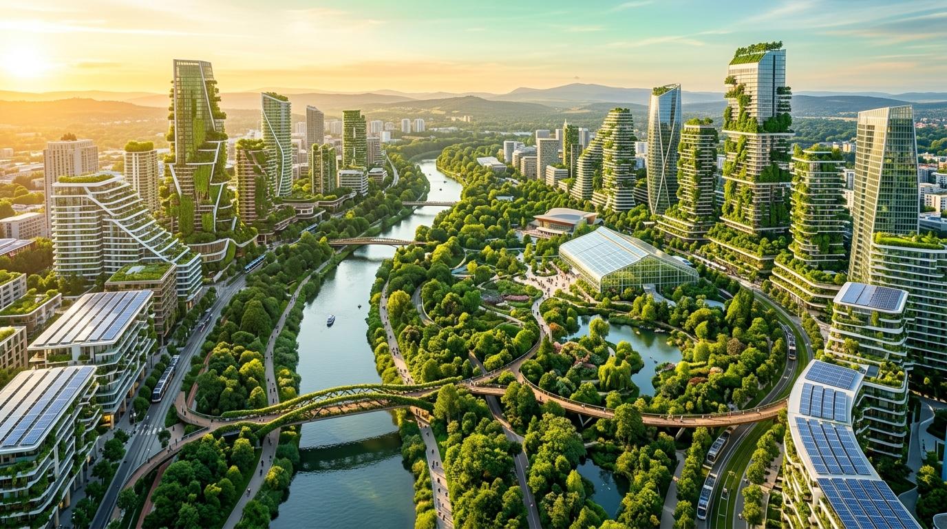
Real-world Data
Satellite, weather, terrain
AI-Powered Compiler
From goals to interventions
Spatial Visualization
See interventions on map
Multiple Scenarios
Flood, biodiversity, balance
How the Compiler Works
Translating high-dimensional environmental telemetry and municipal goals into spatially placed, ground-truthed ecological plans.
Geospatial Ingestion
Ingests Copernicus Sentinel-2 NDVI canopy imagery, OpenStreetMap street networks, and 30m OpenElevation hydrological contours.
Spatial Diagnosis
Calculates overland runoff trajectories, impervious pavement ratios, microclimate heat islands, and ecological corridor fragmentation.
Heuristic Synthesis
Translates natural-language municipal priorities and capital budgets into spatially constrained nature-based intervention candidates.
Ground-Truthed Plan
Generates exact GeoJSON coordinates for Miyawaki forests, bioswales, and rain gardens with verified runoff and carbon sequestration projections.
Designed for Urban Planners, Researchers & Municipalities
Hydrological Runoff Modeling
Models continuous surface water runoff volume based on landcover permeability, slope gradients, and 100-year monsoon precipitation events to position bioswales where they intercept the most water.
True Geospatial Split-View
Draggable before-and-after spatial divider comparing the baseline municipal site directly with the compiled ecological interventions across synchronized MapLibre canvases.
Project Library & GeoJSON Import/Export
Persistent project workspace backed by Supabase and offline local storage. Export full compiled intervention plans as standard GeoJSON or `.uec.json` files for CAD and GIS.
AI-Powered Geospatial Planning for Biophilic, Climate-Resilient Cities
Traditional urban planning cycles require months of manual GIS overlays, hydrologic modeling, and stakeholder reconciliation. The Urban Ecology Compiler turns this into an instantaneous, AI-orchestrated spatial decision support system.
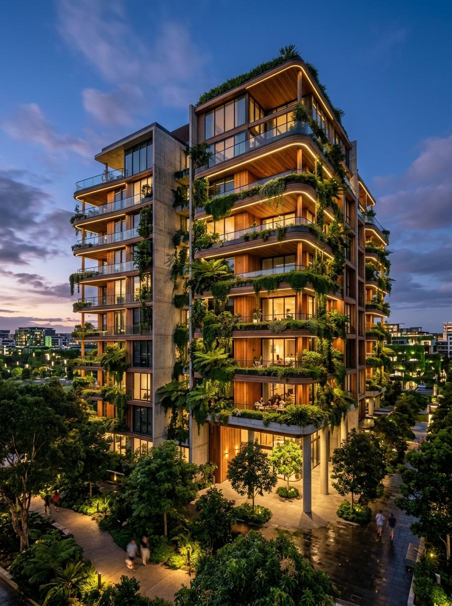
High-Density Green Corridors & Micro-Catchments
Physical nature-based interventions designed to respect actual elevation and runoff vectors.